
When Aerospace launched its newest concentration in 2015, its top business application seemed clear.
The devices that hobbyists were calling drones—known in the industry as unmanned aircraft systems (UAS)—would allow farmers to monitor and assess their crops remotely, driving the next wave in precision agriculture.
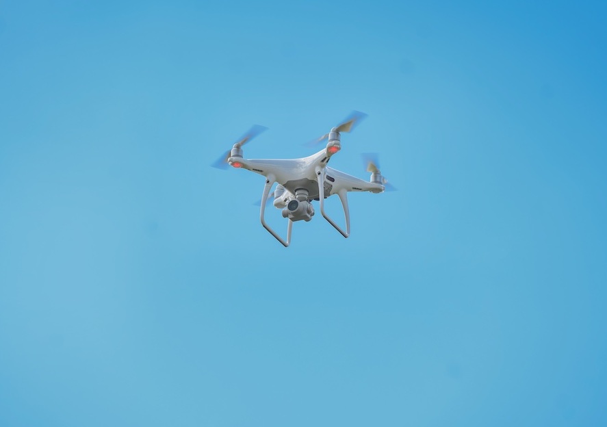
No doubt drones are making farming more efficient. That’s why UAS is an integral part of the Tennessee Digital Agriculture Center being established at MTSU.
Song Cui, an associate professor of Agriculture, won a three-year, $750,000 grant from the U.S. Department of Agriculture and the National Institute of Food and Agriculture to launch the center. He leads a multidisciplinary team—including UAS Director Kevin Corns—whose goal is to give young people in middle Tennessee, especially those from underrepresented groups, a tantalizing taste of cutting-edge farming. That includes using drones to capture data.
Corns, who has worked with Cui on various projects, joined MTSU in 2016, just as unmanned aircraft were cleared to fly in the national airspace system.
“Photography, roof inspections, surveying have all been the early adopters, and the ag sector is now getting into unmanned aircraft,” he said.
That’s what Corns is seeing in his students. Many minor in UAS to complement majors like Video and Film Production or Concrete Industry Management.
“We are a discipline that can support many other disciplines to achieve their research and application goals,” he said.
UAS is highly experiential. Students spend increasingly more time in lab and then in the field—in this case MTSU’s 450-acre farm. Eventually it’s all fieldwork, with students flying different models of drones and practicing skills like search and rescue, surveillance, and mapping and 3D missions.
For their capstone projects, students can go farther afield—anywhere in or even out of state, Corns said. Last April, a six-student team captured imagery in Cummins Falls State Park in Jackson County to support a search-and-recovery mission that had baffled authorities for over a year.
“We’ve mapped south of Shelbyville, railroad tracks and railroad bridges. We’ve been on Murfreesboro Airport and mapped roofs. We’ve done video—we’ve supported the production truck and broadcast video for ESPN+.”
Staying down on the farm has its appeal too.
COMMENTS ARE OFF THIS POST